If you want a Seattle neighborhood where outdoor time feels built into the day, Magnolia stands out fast. This bluff-and-peninsula community gives you a mix of shoreline access, major parkland, and everyday residential living that is hard to match in the city. Whether you picture morning walks, paddle launches, bike rides, or sunset views over Puget Sound, Magnolia offers a lifestyle shaped by proximity to the water and green space. Let’s dive in.
Why Magnolia Feels Different
Magnolia does not read like a standard city grid. Seattle planning materials describe it as a bluff-and-peninsula neighborhood that functions in some ways like an island community, with limited roadway connections and four bridges into the area.
That geography helps define daily life. Instead of parks and shoreline being occasional destinations, they become part of your normal routine. Magnolia is also described by the city as primarily residential, with local services, public facilities, parks, and a neighborhood business center.
For many buyers, that combination is the draw. You get a neighborhood that feels tucked away, while still being tied to the rest of Seattle through a small but closely monitored network of crossings, including the Magnolia Bridge, which the city says receives regular maintenance, frequent inspections, and 24-hour monitoring.
Discovery Park Anchors Outdoor Living
When people think about Magnolia outdoor living, Discovery Park usually comes first. Seattle Parks says the park spans 534 acres, making it the city’s largest park.
That size matters because it creates real variety. The park includes miles of trails across bluffs, beaches, meadows, forests, and dunes, plus two miles of protected tidal beaches with views of Puget Sound, the Cascades, and the Olympics.
If you want a neighborhood where a short outing can still feel immersive, this is a major advantage. You can fit a trail walk, a beach visit, or a scenic overlook into a regular weekday, not just a weekend plan.
Everyday Parks Add Flexibility
Discovery Park may be the headline amenity, but Magnolia’s smaller parks are what make the outdoor lifestyle feel practical every day. They give you more choices for shorter walks, quick breaks, or casual meetups close to home.
Magnolia Boulevard Views
Magnolia Boulevard offers a long strip of green space with Puget Sound views. For many residents, this kind of bluffside setting supports simple routines like a morning walk, an evening stroll, or a stop to watch changing weather over the water.
Magnolia Park Recreation
Magnolia Park sits on the bluff and is set up for picnics and tennis. That makes it useful for both active time and relaxed outdoor gatherings.
Lawton Park Trails
Lawton Park brings together wooded trails, grassy lawns, and views toward Ballard and the Ship Canal. It is a good example of how Magnolia blends neighborhood-scale open space with broader water and city outlooks.
Magnolia Greenbelt and Manor Park
Magnolia Greenbelt adds another natural area within the neighborhood. Magnolia Manor Park includes an off-leash area, a P-Patch, benches, and a walking path, which broadens the range of everyday outdoor uses.
Waterfront Access Is Part of the Routine
In some neighborhoods, water views are mostly visual. In Magnolia, the shoreline can be more active and functional.
Magnolia Tidelands Park consists of the tidelands below Magnolia Bluff, reinforcing the neighborhood’s connection to the waterfront. For people who want regular access to shoreline settings, that matters.
The 32nd Ave W Boat Launch is another practical feature. Seattle Parks describes it as a hand-carry beach at the southern end of 32nd Avenue West, with views of Puget Sound and the surrounding shoreline.
If you enjoy paddling or simple hand-launch boating, that kind of access can shape your day-to-day lifestyle. It gives you a straightforward public option without turning every outing into a major trip.
Biking and Walking Connections Matter
Outdoor living is not only about what sits inside Magnolia. It is also about how easily you can move beyond it without giving up the neighborhood’s residential feel.
One key link is the 33rd Ave W Pedestrian and Bicycle Bridge. Seattle Department of Transportation says it is near the Salmon Bay waterfront, connects Magnolia to Ballard and the Burke-Gilman Trail, and serves as an important part of Seattle’s biking and walking network.
That creates real value for residents who want car-light outings. A neighborhood can feel much more flexible when a ride or walk can connect you to wider regional routes without needing to drive first.
Working Waterfront Adds Character
Magnolia’s outdoor appeal is not only parks and scenery. It also includes Seattle’s working-waterfront identity.
Fishermen’s Terminal, located in Salmon Bay between Ballard and Magnolia, remains home to the North Pacific fishing fleet. Port facilities there provide moorage for 400 commercial fishing vessels and work boats, and the public can access food and retail uses on site.
That gives the area a different kind of waterfront presence. It is not just about recreation. It is also about maritime activity, daily industry, and the kind of place-based character that helps Magnolia feel connected to Seattle’s broader coastal history.
For boaters, Elliott Bay Marina near Smith Cove adds another layer. The marina is located on the northern shoreline of Elliott Bay, just west of downtown Seattle, and reports deep-water access and wide fairways.
Recreation Goes Beyond Trails
Magnolia also supports a broad mix of active recreation beyond waterfront outings and bluff walks. Magnolia Community Center, located at Magnolia Playfield, strengthens the neighborhood’s day-to-day recreation options.
According to Seattle Parks, the site shares a block with the summer-only Mounger Pool. The playfield can accommodate football, soccer, softball, and baseball, and it also includes two play areas and four tennis courts.
This matters if you are evaluating lifestyle fit, not just scenery. Magnolia’s outdoor identity includes structured recreation spaces alongside natural areas, which can broaden how different households use the neighborhood.
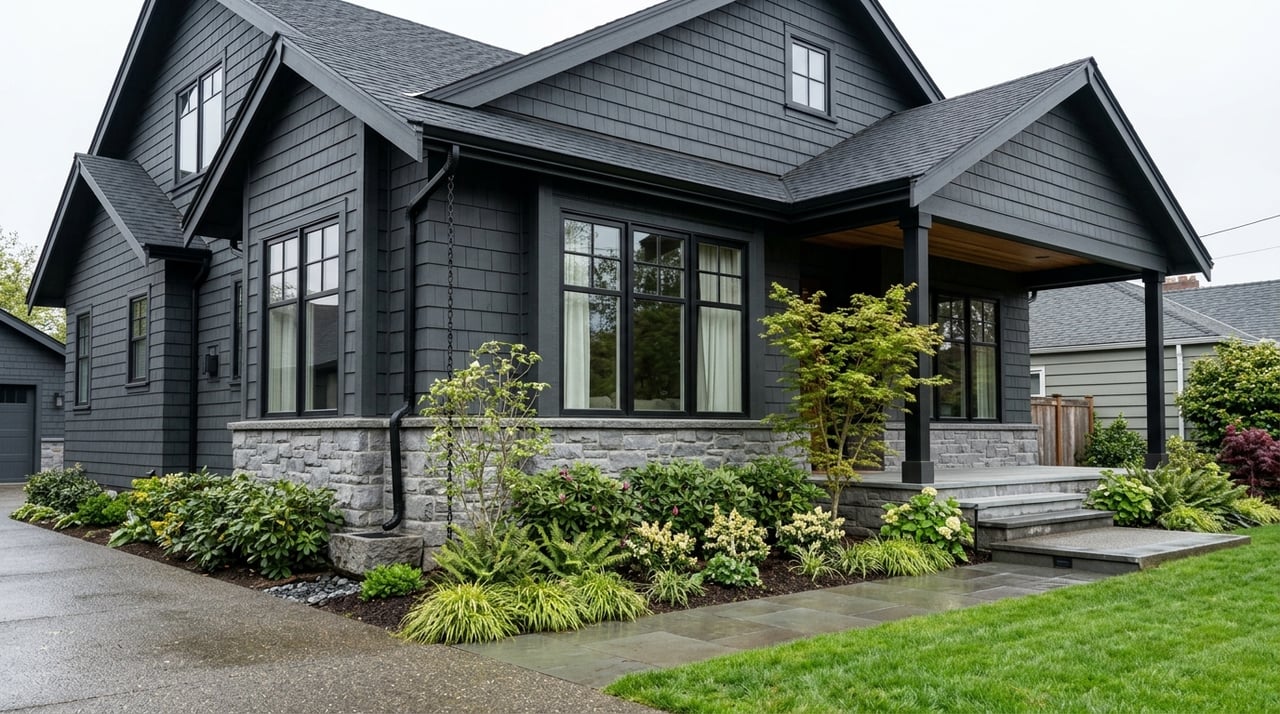
What Magnolia Means for Homebuyers
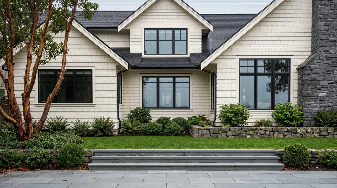
From a housing perspective, Magnolia’s identity is closely tied to its residential character. Seattle planning documents describe the neighborhood as primarily residential, and historic city materials characterize much of the plateau as one- and two-story single-family dwellings, with commercial activity at the edges.
For buyers, that helps explain why the outdoor setting feels so integrated into daily life. The strongest takeaway from city materials is that Magnolia’s big-park wilderness, bluffside greenspaces, shoreline access, and working-waterfront landmarks sit close to where people actually live.
If you are comparing Magnolia with other Seattle neighborhoods, that proximity may be one of the most important factors. You are not choosing only a home style or a street. You are also choosing how often nature, water, and open space can become part of your regular routine.
Fort Lawton Shows Long-Term Change
While Magnolia is known for its established residential feel, future housing changes are also part of the picture. The City of Seattle says HUD approved an updated Fort Lawton redevelopment plan in December 2024.
That plan allows for up to 500 homes, including affordable rentals, supportive housing for seniors and veterans, and homeownership opportunities. The city also says the plan preserves 22 acres for parks and forested areas.
For anyone watching the neighborhood long term, the key point is balance. Even as housing evolves, the city’s own framing continues to treat parks and open space as central to Magnolia’s identity.
Why Sellers Benefit From Magnolia’s Lifestyle Story
If you own a home in Magnolia, the neighborhood’s outdoor assets are often part of what makes your property compelling. Buyers are not only assessing square footage or finishes. They are also evaluating how close they are to Discovery Park, shoreline access, bluff views, bike connections, and neighborhood recreation.
That is where hyperlocal positioning matters. In a neighborhood like Magnolia, value is often tied to the details of location within the neighborhood, including whether a home feels more park-adjacent, village-adjacent, or closely connected to waterfront routes and view corridors.
For sellers, presenting that story clearly can make a meaningful difference. A well-prepared listing should show not only the home itself, but also the lifestyle pattern that Magnolia supports.
If you are thinking about buying or selling in Magnolia, local context matters. For tailored guidance on how Magnolia’s outdoor lifestyle, housing mix, and micro-location can influence value, connect with Jeffrey A. Valcik and Associates, Inc..
FAQs
What makes Magnolia appealing for outdoor enthusiasts in Seattle?
- Magnolia offers close access to Discovery Park, bluffside green spaces, shoreline areas, hand-carry boat access, recreation fields, and bike connections to Ballard and the Burke-Gilman Trail.
What is Discovery Park like in Magnolia?
- Seattle Parks says Discovery Park covers 534 acres and includes trails across bluffs, beaches, meadows, forests, and dunes, along with two miles of protected tidal beaches.
Where can you access the waterfront in Magnolia?
- Public waterfront-oriented access points include Magnolia Tidelands Park and the 32nd Ave W Boat Launch, which Seattle Parks describes as a hand-carry beach with Puget Sound views.
How do cyclists get from Magnolia to Ballard?
- The 33rd Ave W Pedestrian and Bicycle Bridge connects Magnolia to Ballard and the Burke-Gilman Trail and is part of Seattle’s biking and walking network, according to SDOT.
What is the housing character of Magnolia?
- City planning materials describe Magnolia as primarily residential, with much of the plateau historically characterized by one- and two-story single-family dwellings and commercial activity mainly at the edges.
How could Fort Lawton affect Magnolia housing over time?
- The city’s updated Fort Lawton plan allows for up to 500 homes while preserving 22 acres for parks and forested areas, which suggests housing growth alongside continued open-space planning.